Many mapping projects make use of contour data. Some contour datasets are processed from LiDAR or other data collections while some come directly from a data provider like USGS in a GIS or CAD format. Depending on how the data were collected or processed they may be accurate, but coarse. And, it’s likely the data files are quite large. How can you keep the contours accurate, but make them smoother and the files smaller? TCI Software’s MapTools Pro has the tools to do just that, and a whole lot more.
The Workflow
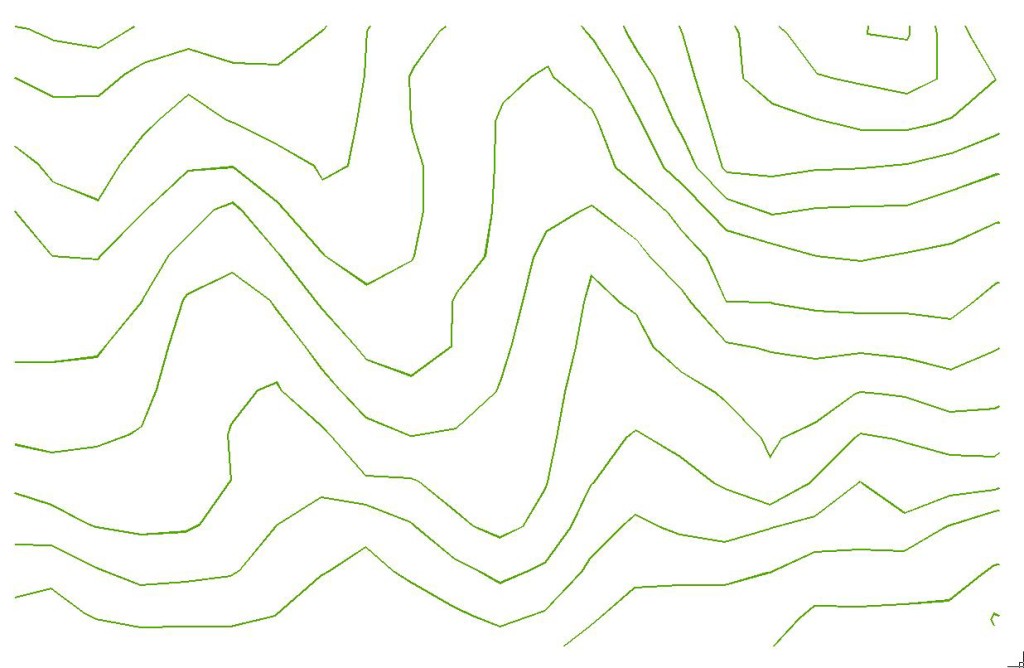
Here’s a bit of a USGS contour dataset. The entire dataset has 359 straight segments.
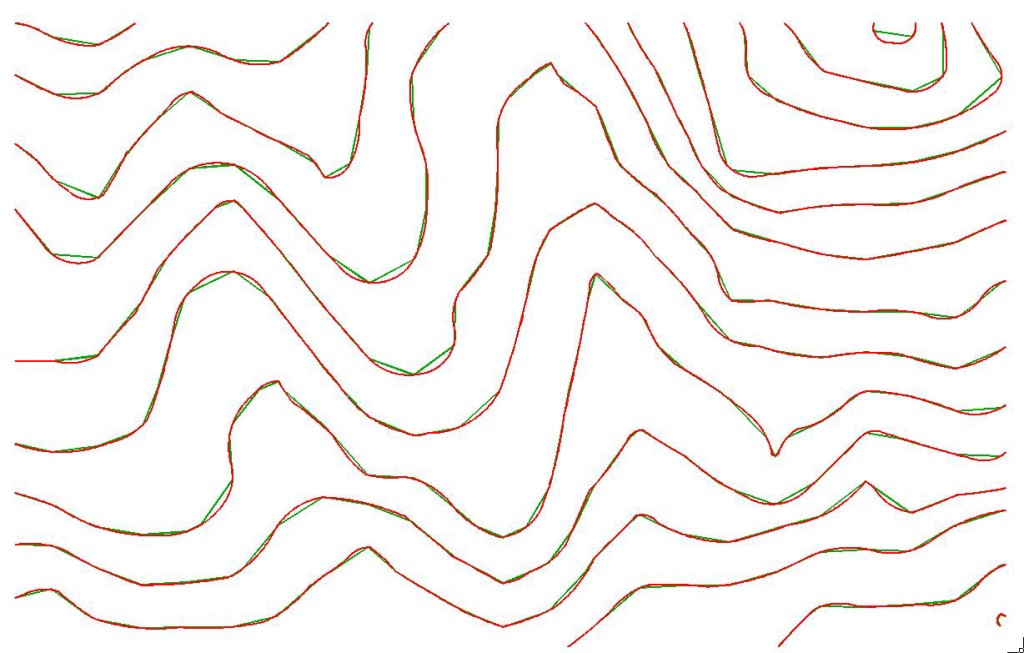
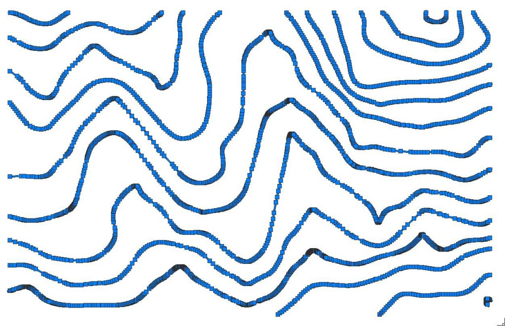
The MapTools PNURBS tool creates polylines using true spline entities (including mathematically defined curves) using every vertex of the original data. That means the new linework will pass through every vertex in the original data. The output polylines are very smooth.
But, they have a lot of vertices: 2853!
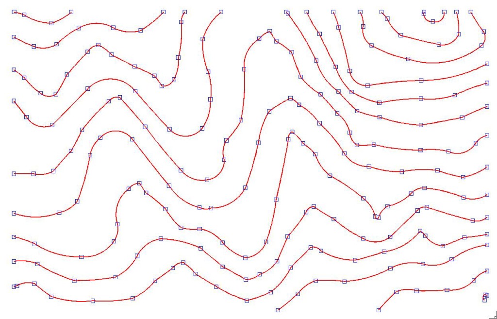
The MapTools Curvefit tool [also available as a standalone app for use with any CAD, GIS or graphics package] can simplify the linework and reduce the file size. Curvefit creates straight and curved linework that passes through all of the original vertex locations but with fewer vertices. The final dataset has just 197 vertices – a 93% decrease!
Want to see what MapTools Pro can do for your contours?
Try a 30 day free trial. If you have BricsCAD or AutoCAD, MapTools Pro licenses start at $595. If you don’t have a CAD package, MapTools Pro and BricsCAD are available for just $995 for a limited time, a savings of $300 off separate purchases.


