
One of our tools that you won’t find anywhere else!
Our premier Rubbersheeting toolkit has been in commercial use for over 20 years and has been continually refined over that time to meet the challenges of our customers and our own services business, Rubbersheet-Factory.
Adjust is included in our Automated Mapping Toolkit – MapTools Pro and our Automated 3D Corridor Mapping Toolkit – CoriMap.
Adjust is different than any other rubber sheet tool you may have tried – that’s because it Works. Both ArcGIS and AutoCAD Map have rubber sheet tools and they do work in limited ways but many users who have tried them came to discover that in most cases they don’t improve a map but degrade it. Adjust is different.
Adjust manipulates drawing entities and digitizer output to perfectly simulate True Rubber Sheeting. We define True Rubber Sheeting as “Non linear stretching in many directions simultaneously.” Adjust is simple to operate and produces error free results. Based on a proprietary non-projective algorithm, Adjust has been used to process thousands of maps in a wide variety of production mapping applications for over 20 years.
Automation Ready – Adjust can operate from the command line using a Dialog Box interface or as a part of more complex automation operations using MapTools Commander – process a drawing or a groups of drawings unattended.
Large Project Capable
Recent upgrades have added several new features that extend and improve the functionality especially for large projects.
A new Rectangular Interpolated Calibration (RIC) capability automates calibration creation in situations where Rectangular areas are processed and the ability to save and recall calibration data allows large projects to be managed over a days to weeks long calibrations setting operation.
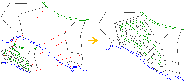
The Perfect Rubbersheeting Tool for Mapping
Adjust was developed to automate and streamline the production and updating of AutoCAD base maps. The assembly of large base maps from many smaller map sheets can be both labor intensive and subject to considerable error. Updating these base maps, with the addition of new linework, is a continuous process. Adjust is the perfect tool for flawless edge matching, a primary task in base map production and updating.