
Application of Curvefit in GIS / Mapping
You don’t have to work with HUGE files or sacrifice smoothness and accuracy!
Curvefit was originally developed (in 1990) to optimize mapping data. It has been used by 1000’s of Mapping/GIS professionals for the past 25 years to optimize mapping data.
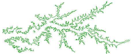
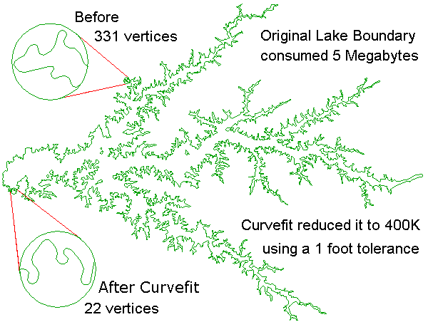
This lake boundary drawing was over 5 Megabytes, Click to Enlarge
After Curvefitting it’s only 400 Kilobytes.
The ultimate test for any linework optimization technique is Contours.
In the following example you can see the dramatic impact Curvefit can have on Large Contour Files.
Watch it work